- November 10, 2025
Why Drone Surveys Are Effective Tools in Construction & Conservation
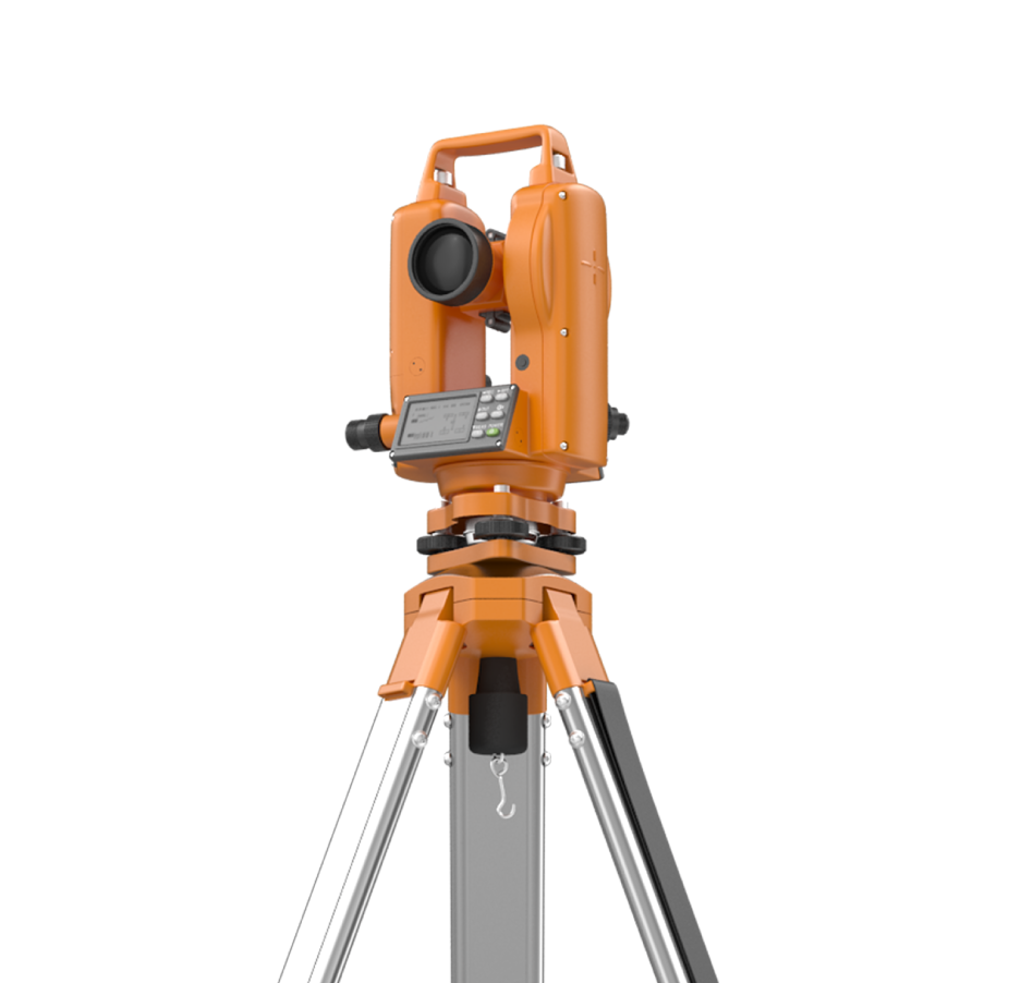
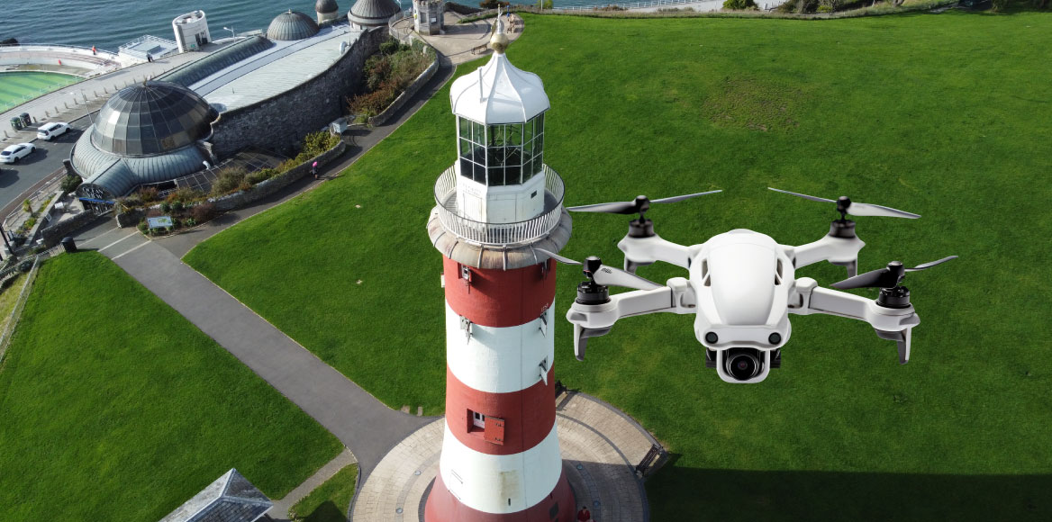
Surveying has literally reached new heights. Drones are rapidly becoming an essential tool for professionals in construction, architecture, and heritage conservation. Imagine mapping a sprawling construction site or inspecting a historic tower like Alfred’s Tower or Smeaton’s Tower from above in minutes, not days. By capturing accurate site data quickly and safely, drone surveys allow architects and builders to plan with confidence. They reduce on-site delays and provide rich visuals, explaining why more companies are embracing drones to elevate their projects.
Why Drone Surveys? Here are key reasons drones have become a go-to surveying tool:
Save Time & Money: Drones dramatically speed up surveying tasks. Large sites that might take days or weeks to measure on foot can be mapped in hours by a drone. Faster data collection means less labour and minimal disruption. This efficiency translates to cost savings; drone surveys add tremendous value without delaying projects or incurring hefty expenses.
Improved Safety: Land surveying can involve risky terrain and heavy equipment. Drone surveys let you collect data from a safe position, keeping personnel off busy roads, rail lines, roofs, or unstable ground. By removing the need to physically climb or traverse hazardous areas, drones greatly reduce accident risk. Plus, the aerial data they gather can even help spot potential site hazards early, before they become problems.
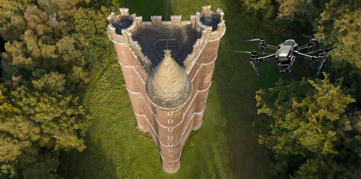
Versatility – Access Hard-to-Reach Areas: Drones can go where people (and even tripod scanners) cannot. Whether it’s inspecting an inaccessible elevation on a heritage structure or surveying an active construction zone too dangerous for crews, drones excel. They have documented everything from steep rooftops to fire-damaged buildings without putting anyone in harm’s way. This makes them invaluable for heritage conservation (imagine safely surveying a 49m tall folly tower) and for busy sites where traditional surveying would disrupt work. No scaffold or shutdown needed; the drone does the job from above.
Frequent Monitoring & Better Decisions: Because drone flights are quick and cost-effective, you can survey a site as often as needed. Regular aerial updates give all stakeholders from architects, contractors and owners an up-to-date, shared view of progress. Everyone works off the same current maps and models, reducing misunderstandings and mistakes. Frequent drone surveys help track construction against plans, catch issues early, and keep projects on schedule. In short, better information leads to better decisions and fewer surprises on the job.
Drone Data Delivers Real Results
In conclusion, drone surveys have proven to be a game-changer for modern projects. They empower surveyors and project teams to work faster, safer, and smarter. By capturing comprehensive, accurate data from the sky, drones ensure that architects design with precise site context and contractors build with confidence. From cutting costs and time to improving safety and insight, the benefits of drone surveying are clear. Adopting this high-flying technology means fewer delays, richer information, and greater peace of mind for any project, be it a new construction or a historic restoration. Drones truly allow today’s professionals to survey smarter and achieve more.
With proven reliability, technical expertise, and a dedication to service, Blueprint Surveys Limited continues to set a high standard for site surveys across England; helping every client move forward with clarity and confidence.
Make it official!
Call us:
020 8339 6125 for Surveys
033330 12360 for 360° tours
Because at Blueprint Surveys and Blueprint 360View, we make tours and surveys exciting, decisions easier, and projects unforgettable.