
- December 23, 2025
The Power of Precision Mapping
Precision mapping has quietly transformed how complex sites are understood, designed, and delivered. Peggy, our tireless drone, captures aerial data that reveals terrain, scale, and context with absolute clarity. For architects, engineers, and construction teams, this behind-the-scenes intelligence removes uncertainty early, supporting safer planning, accurate coordination, and confident decisions across infrastructure, environmental, and large-scale development projects from concept through delivery on demanding multidisciplinary sites.
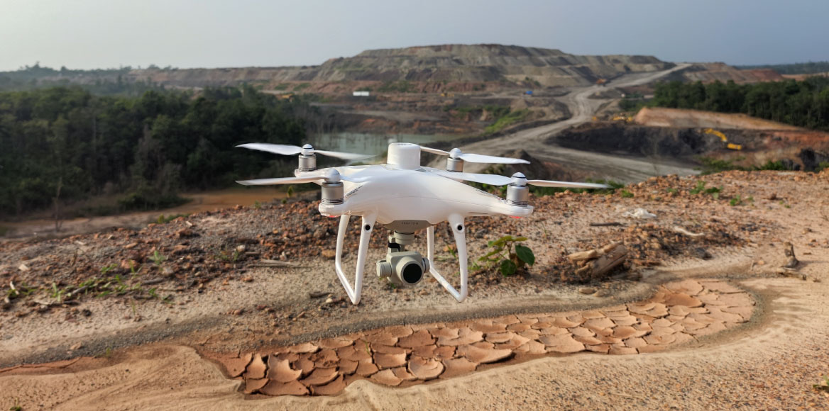
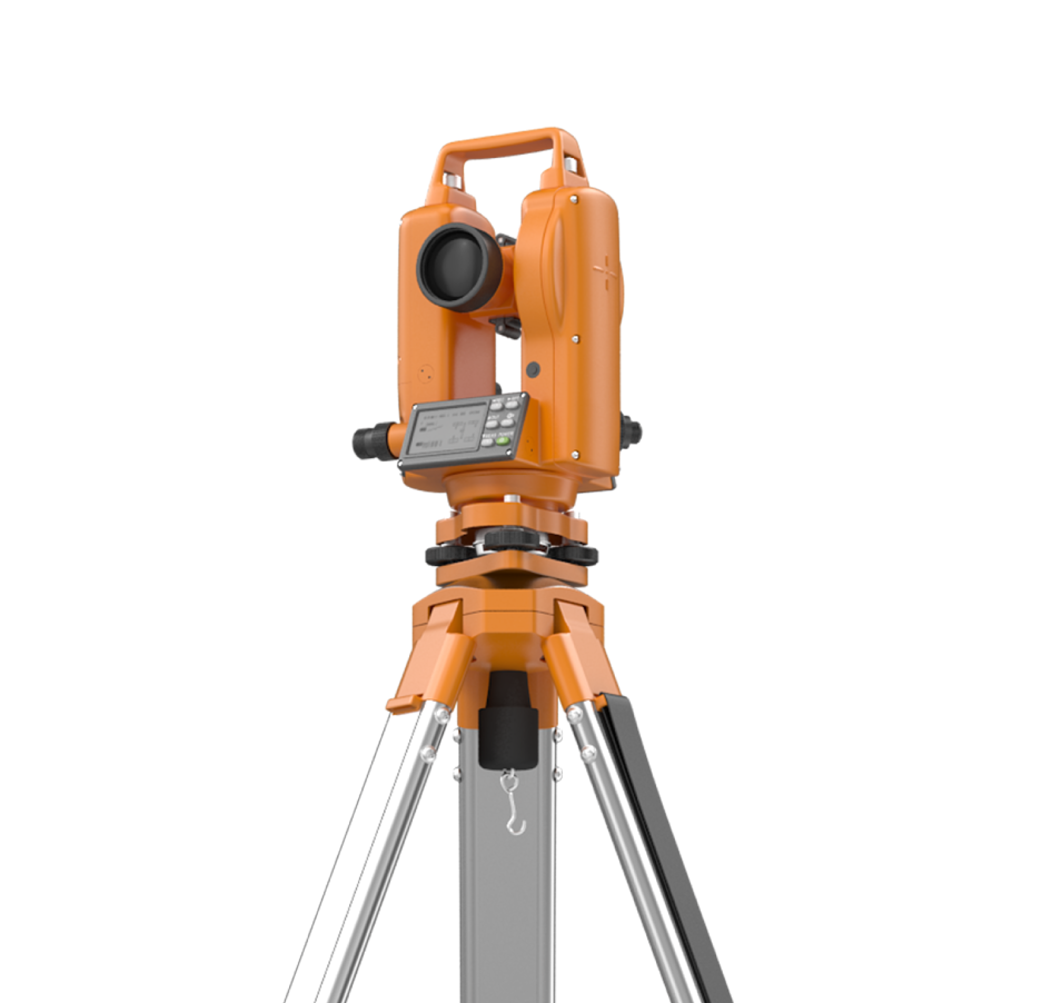
Behind every successful large-scale project is dependable spatial intelligence. Peggy’s drone flights and ground-based scanners work together to capture millions of precise points, forming accurate digital terrain models and orthomosaics. These outputs help architects test massing, orientation, and access, while construction teams plan logistics, phasing, and temporary works. Environmental consultants assess drainage, vegetation, and impact zones with confidence. Because data is captured quickly and safely, even across challenging or restricted sites, teams gain a shared, up-to-date view. Integrated into CAD and BIM environments, this information supports coordination, reduces clashes, and strengthens decision-making throughout design, construction, and ongoing site management. It enables clearer collaboration between disciplines and provides a robust record for future adaptations and compliance checks across complex regulated environments.
Why Precision Mapping Matters Today
Designed Clearly Built With Confidence
Precision mapping is no longer a specialist extra; it is a foundation for informed design and delivery. With Peggy in the air and scanners on the ground, professionals gain reliable insight before decisions are locked in. This clarity supports safer sites, stronger collaboration, and smoother project progression, helping teams respond to real-world conditions with accuracy, speed, and confidence across complex infrastructure, environmental, and development programmes worldwide, today, without compromise or delay risks emerging later.
With proven reliability, technical expertise, and a dedication to service, Blueprint Surveys Limited through Blueprint 360 view continues to set a high standard for site 360° immersive tours across England; helping every client move forward with clarity and confidence.
Make it official!
Call us:
020 8339 6125 for Surveys
033330 12360 for 360° tours
Because at Blueprint Surveys and Blueprint 360View, we make tours and surveys exciting, decisions easier, and projects unforgettable.