Topographic Land Contour Surveys
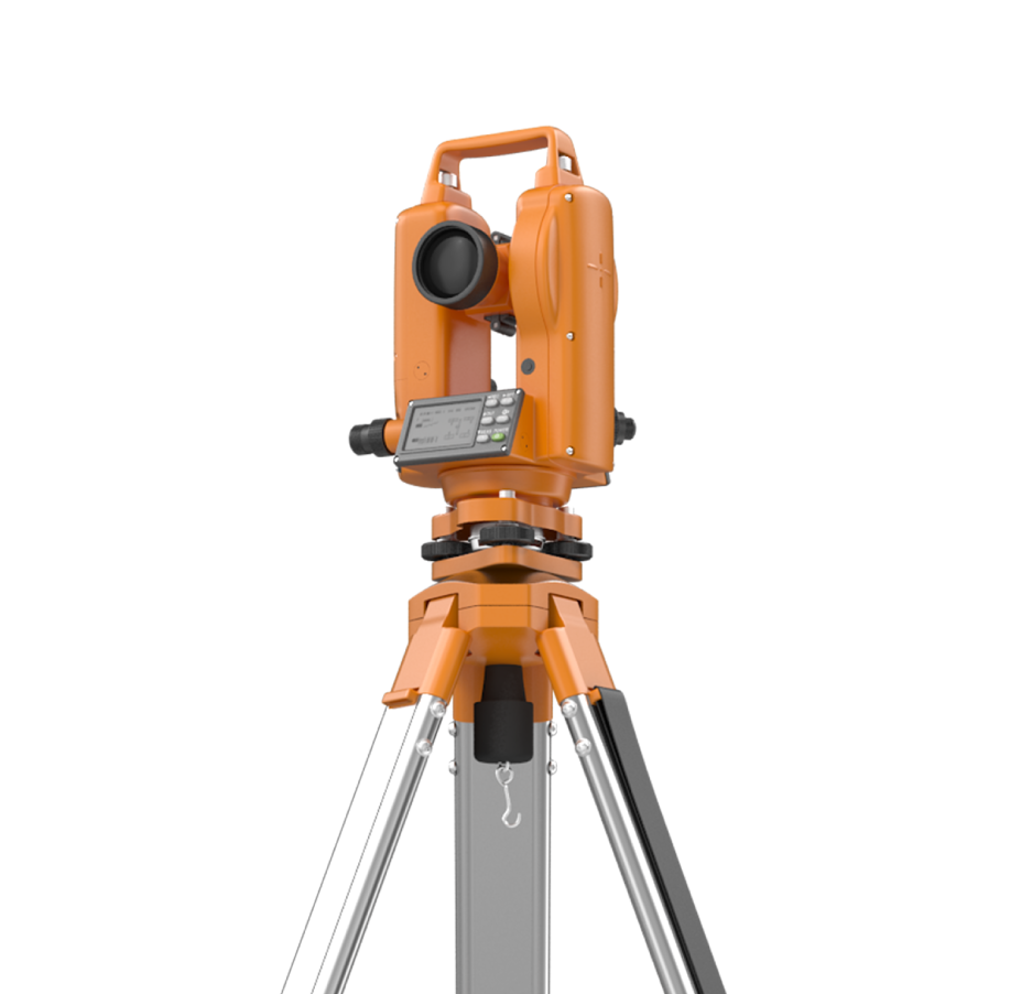
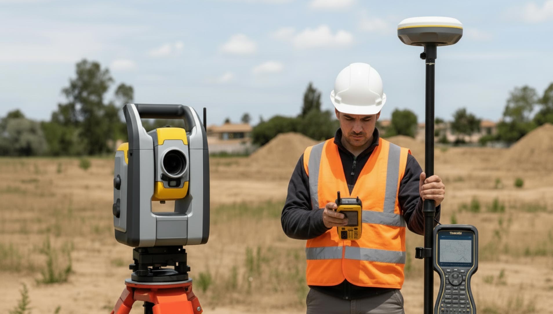
Blueprint Surveys Limited specialises in delivering high-quality topographic land contour surveys for development, engineering, and planning projects. Using a combination of total stations, GNSS coordinate systems, and drone aerial mapping, we capture the critical detail of landscapes with exceptional precision. Our surveys include contours, elevations, boundaries, utilities, and surface features, providing clients with accurate base information for project design, planning approvals, and construction. Every survey is supported by control networks, ensuring data consistency across the site. Outputs are delivered in CAD, GIS, and BIM-compatible formats, making them easy to integrate into client workflows. This service reduces risk, prevents design delays, and saves costs by ensuring accurate land models at the earliest project stage. Whether mapping a small residential site or large-scale infrastructure development, Blueprint Surveys ensures that topographic data is captured quickly, safely, and with the level of accuracy required to deliver project success.
Contours, Features, Boundaries, and Elevations
Our topographic surveys record every essential feature including land levels, site boundaries, utilities, and surface detail. Using drones for rapid coverage and GNSS for positional accuracy, we deliver precise mapping suitable for planning and design. Outputs are professional, consistent, and fully quality-checked, ensuring architects, engineers, and developers have the right data to make confident, informed project decisions.

Foundations for Every Project
Topographic contour surveys underpin successful planning and design. By capturing the lie of the land, Blueprint Surveys provides certainty from the outset. Our surveys identify utilities, levels, boundaries, and site features accurately, giving engineers and architects a reliable foundation for concept design, construction planning, and regulatory submissions.
Complete Mapping
Accurate Control
Faster Delivery

Adding 360° Vitual Tours To Survey Deliverables
Blueprint Surveys now integrates Blueprint360View technology into its survey outputs, offering clients the option of 360° virtual tours alongside traditional deliverables. This enhancement transforms measured data into interactive digital environments, helping architects, planners, and developers visualise projects with clarity. The combination of precision surveys and immersive visuals accelerates decisions, improves communication, and strengthens project presentation