Street Scene Elevation Surveys
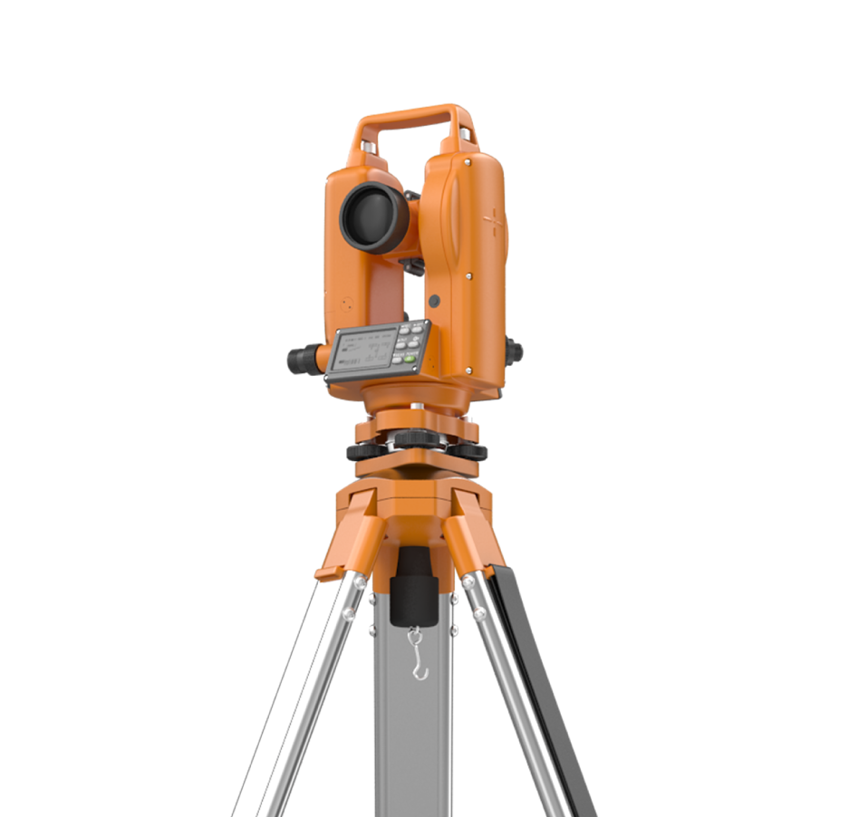
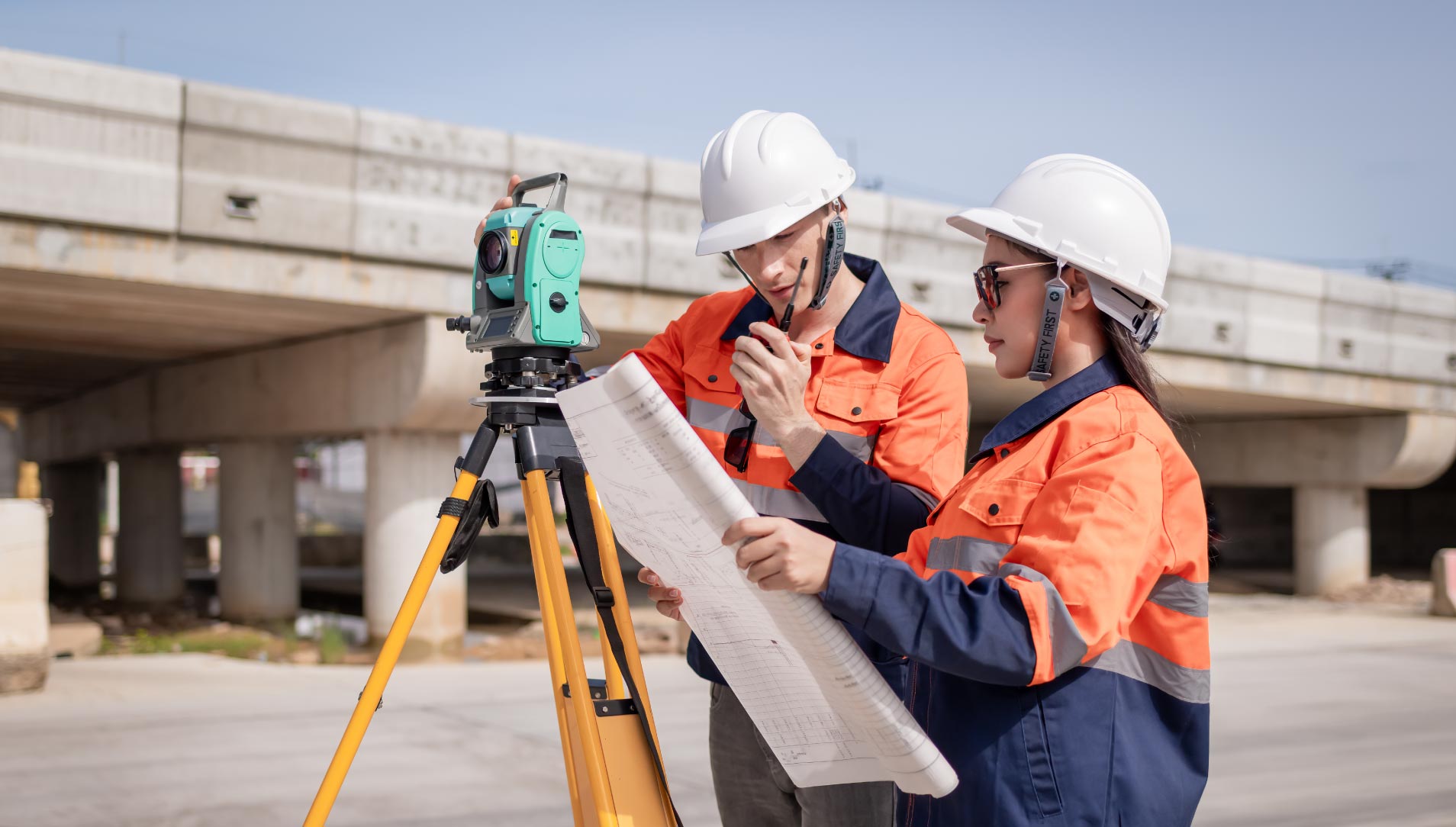
Blueprint Surveys Limited provides detailed street scene elevation surveys, capturing façades, streetscapes, and public realm features to provide essential visual context around proposed developments. Using total stations, GNSS, and laser scanning, we record the scale, proportions, and architectural characteristics of adjacent buildings and streetscapes with precision. These surveys are vital for planning applications, supporting visual impact assessments, heritage statements, and design submissions. Our outputs give architects, planners, and developers the clarity to demonstrate how proposed schemes sit within their wider context. From historic town centres to modern commercial districts, we document façades, building lines, window positions, roofscapes, and street furniture comprehensively. Deliverables are supplied in CAD and PDF formats, suitable for direct use in planning reports and design packages. By ensuring every contextual detail is captured, we reduce planning risk, improve visual communication, and give decision-makers confidence that projects respond to their surrounding environment accurately and sensitively.
Recording Streetscapes With Absolute Accuracy
Street scene elevation surveys provide essential evidence for planners and design teams. Blueprint Surveys ensures façades, streets, and surrounding environments are documented to scale, showing how projects relate to their urban or rural settings. This data supports verified views, contextual drawings, and design impact statements, delivering confidence in planning submissions and enhancing communication with stakeholders.

Urban Context Captured Clearly
Street scene elevation surveys underpin accurate visual assessments for planning. Blueprint Surveys records façades and public realm features with precision, enabling designers and consultants to show how new developments integrate with existing context. Our outputs provide a reliable base for producing verified views, contextual elevations, and visual statements.
Urban Clarity
Planning Support
Design Confidence
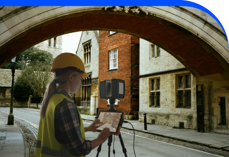
Adding 360° Vitual Tours To Survey Deliverables
Blueprint Surveys now integrates Blueprint360View technology into its survey outputs, offering clients the option of 360° virtual tours alongside traditional deliverables. This enhancement transforms measured data into interactive digital environments, helping architects, planners, and developers visualise projects with clarity. The combination of precision surveys and immersive visuals accelerates decisions, improves communication, and strengthens project presentation