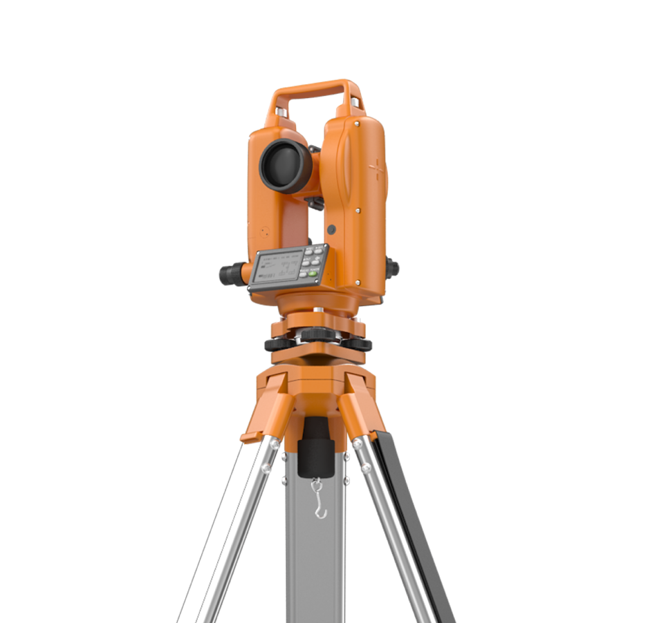
Laser Scanning & Photogrammetry
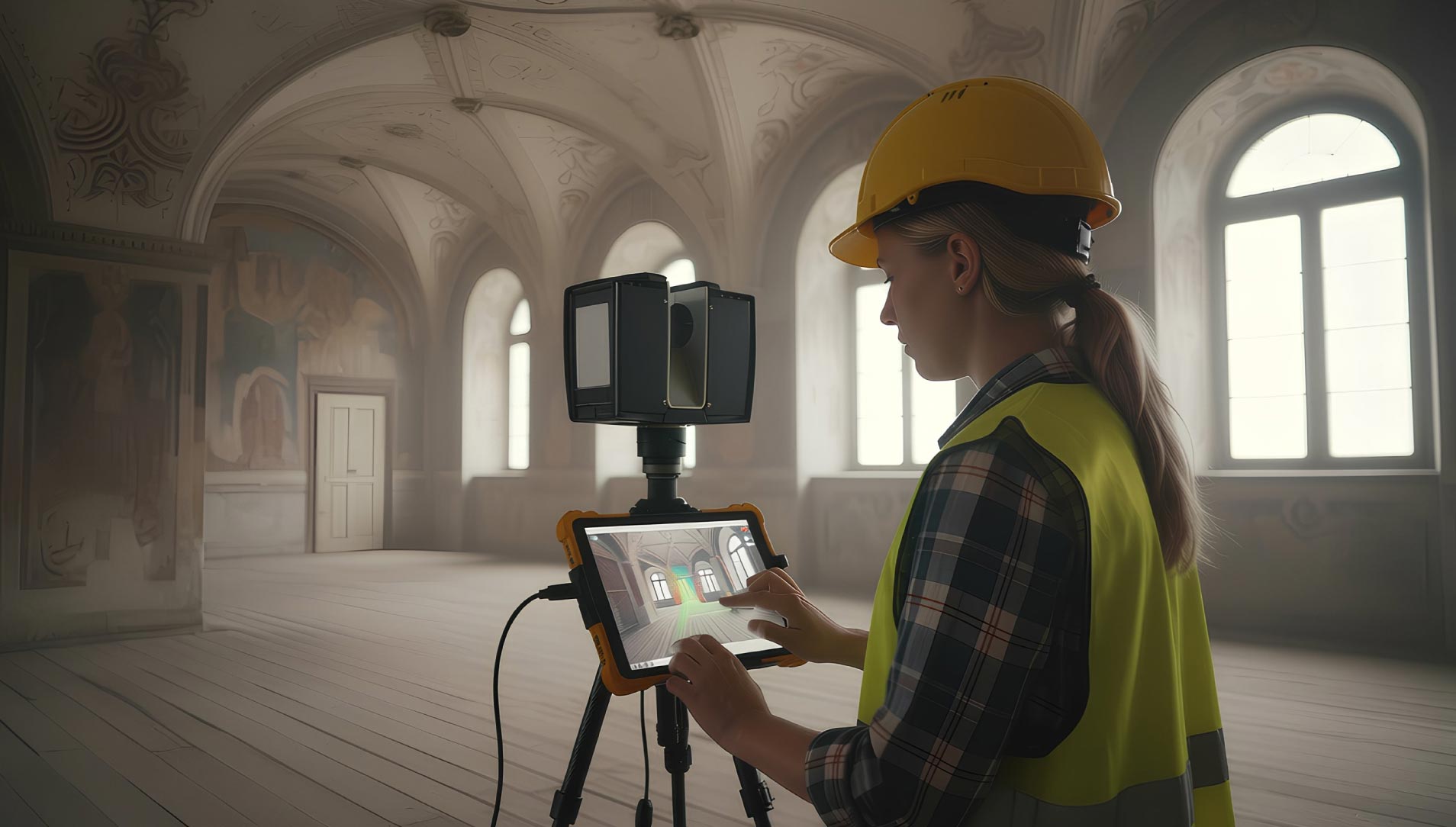
Blueprint Surveys Limited provides advanced laser scanning and photogrammetry services to deliver highly accurate 3D models of buildings, structures, and landscapes. Using cutting-edge terrestrial scanners and photogrammetry workflows, we generate dense point clouds and mesh models that capture every detail, from complex interiors to large external façades. These datasets are vital for BIM integration, clash detection, structural analysis, and heritage archiving. Our surveys preserve existing conditions with millimetre precision, enabling architects, engineers, and asset managers to design and plan with confidence. Deliverables are supplied in multiple formats, including E57, LAS, Revit, and CAD, ensuring seamless integration into client workflows. Whether recording a historic structure for conservation, producing accurate as-built documentation, or creating models for visualisation, our team delivers consistent, verified results. By combining photorealistic textures with precise geometry, we provide clients with a digital twin that is robust, versatile, and ready for design, analysis, or presentation purposes.
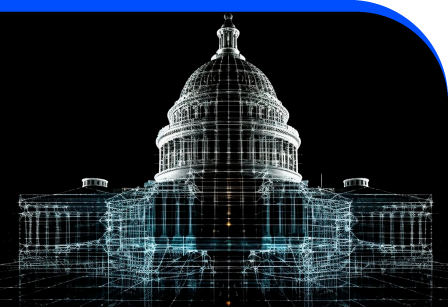
Creating Point Clouds And Mesh Models
Our laser scanning and photogrammetry services produce rich 3D datasets that capture fine detail accurately. These outputs form the basis for BIM, analysis, and long-term records. By integrating scans with photogrammetric imagery, we deliver point clouds and textured mesh models that are visually intuitive and technically robust, helping projects advance with reliable digital foundations.

Models That Add Value
Blueprint Surveys transforms real-world structures into precise digital assets. Our laser scanning and photogrammetry services create reliable point clouds and mesh models that reduce design errors and preserve accurate records. These datasets support decision-making, planning, and conservation by ensuring every project begins with detailed, verifiable 3D information.
Point Clouds
Mesh Models
BIM Ready
Adding 360° Vitual Tours To Survey Deliverables
Blueprint Surveys now integrates Blueprint360View technology into its survey outputs, offering clients the option of 360° virtual tours alongside traditional deliverables. This enhancement transforms measured data into interactive digital environments, helping architects, planners, and developers visualise projects with clarity. The combination of precision surveys and immersive visuals accelerates decisions, improves communication, and strengthens project presentation