GNSS Coordinate & Level Surveys
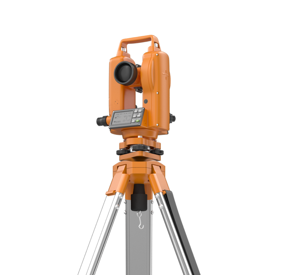
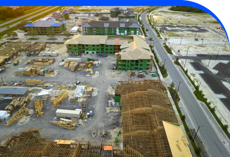
GNSS Coordinate and Level Surveys provide the high-accuracy control needed for complex developments, infrastructure, and engineering projects. By establishing permanent control networks and reference points, we ensure every stage of planning and construction is aligned to recognised datums. Using advanced GNSS receivers, total stations, and precise levelling methods, our surveyors deliver consistent, repeatable results. These surveys are essential when setting out large-scale developments, infrastructure corridors, or multi-phase construction sites where accuracy is non-negotiable. Our data allows engineers, architects, and contractors to reference consistent coordinates and levels across multiple teams and locations, reducing costly errors and delays. From highways and utilities to commercial estates and regeneration projects, GNSS control surveys ensure all stakeholders work from the same reliable baseline. Clients benefit from improved confidence, reduced rework, and long-term accuracy in every stage of their project delivery.
Establishing Reliable Coordinates For Every Project
Our GNSS coordinate and level surveys provide a trusted framework for property, infrastructure, and construction schemes. Establishing fixed, precise datums and benchmarks ensures all measurements are tied together with complete consistency. This underpins design, engineering, and legal documentation, giving project teams reliable reference points for site layouts, boundary definition, and structural alignment throughout delivery.


Confidence In Results
Every successful project begins with reliable control data. Without accurate coordinates and levels, errors multiply and costs rise. Our GNSS surveys prevent uncertainty, providing consistent frameworks across sites. This means smoother collaboration, reliable design outputs, and long-term certainty for landowners, developers, engineers, and contractors relying on data-driven project delivery.
Precise Control
Consistent Data
Reduced Risk
Adding 360° Vitual Tours To Survey Deliverables
Blueprint Surveys now integrates Blueprint360View technology into its survey outputs, offering clients the option of 360° virtual tours alongside traditional deliverables. This enhancement transforms measured data into interactive digital environments, helping architects, planners, and developers visualise projects with clarity. The combination of precision surveys and immersive visuals accelerates decisions, improves communication, and strengthens project presentation