Accurate Visual Representations AVR Surveys
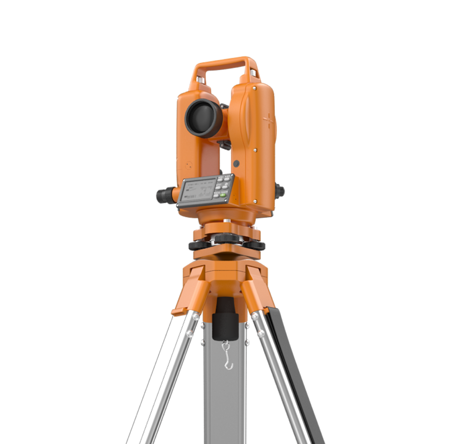
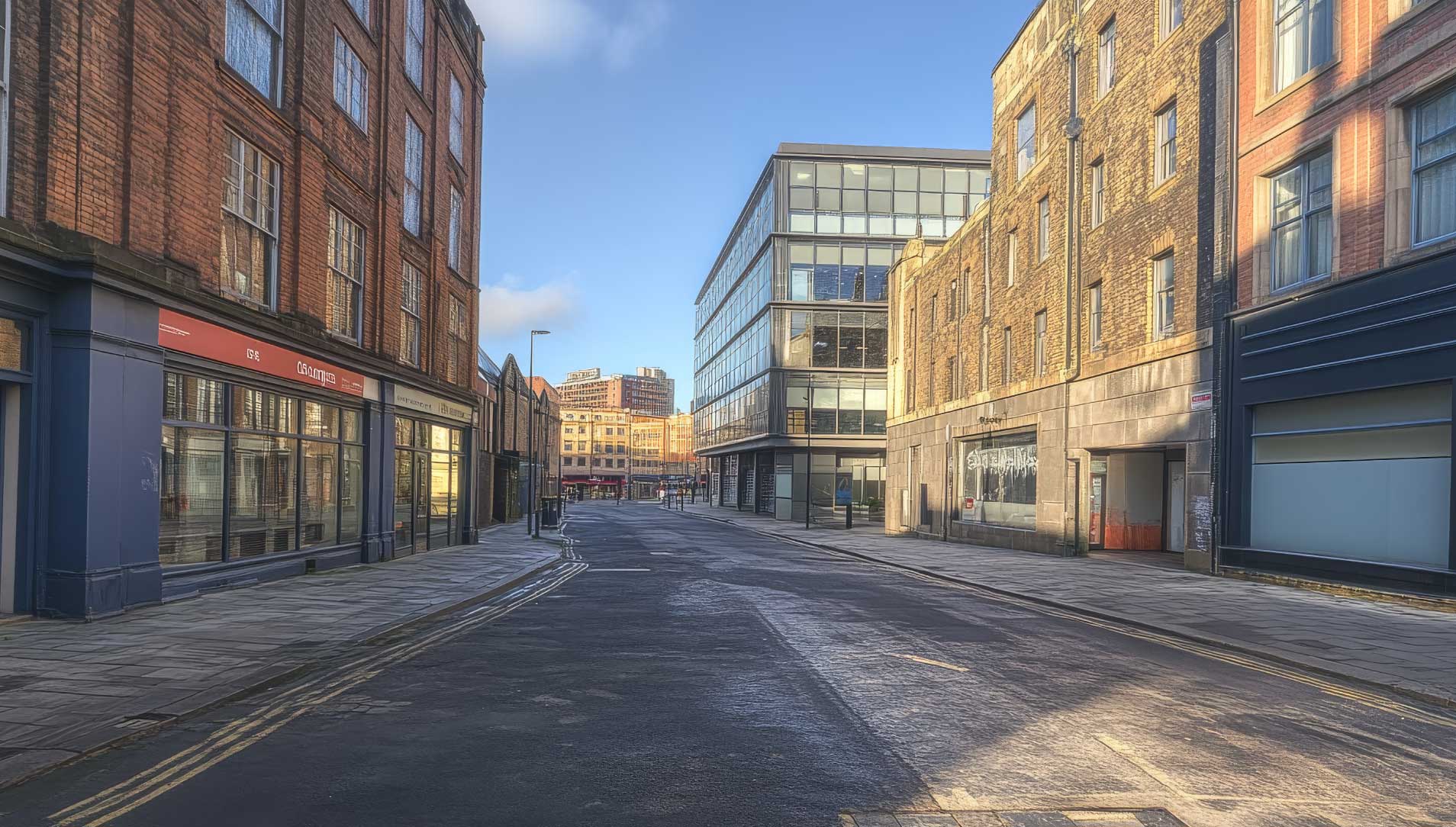
Blueprint Surveys Limited provides Accurate Visual Representation (AVR) surveys that deliver planning-compliant photomontages based on verified survey control points. These surveys are essential for demonstrating the visual impact of proposed developments within their existing context. By combining precise ground survey data with high-quality photography, we produce accurate, trusted visualisations that align with planning authority requirements. Our AVR surveys clearly communicate how a project will appear from key viewpoints, supporting Environmental Impact Assessments, heritage statements, and public consultations. Using GNSS control, total stations, and advanced photogrammetry, we establish reliable reference points that ensure every photomontage is both measurable and defensible. Deliverables are formatted for inclusion in planning applications and design documents, giving stakeholder’s confidence in their accuracy. From urban developments to sensitive heritage areas, our AVR outputs reduce planning risks, improve transparency, and help secure approvals by presenting clear, realistic, and verifiable project visuals.
Photomontages Verified With Survey Control
Our AVR surveys integrate precise survey data with professional photography to create planning-compliant verified views. By establishing accurate control points, we ensure each image is measurable, replicable, and defensible. These visualisations support planning submissions, heritage assessments, and public consultations, enabling developers, architects, and stakeholders to understand project impact clearly and with complete confidence.

Delivering Verified Visual Data
Planning authorities require visuals that are accurate and verifiable. Blueprint Surveys provides AVR surveys that meet these demands by combining measured survey data with photography. Our outputs reduce ambiguity, communicate impact effectively, and build confidence in planning submissions; helping projects progress smoothly through review and approval stages.
Planning Clarity
Risk Reduction
Visual Certainty

Adding 360° Vitual Tours To Survey Deliverables
Blueprint Surveys now integrates Blueprint360View technology into its survey outputs, offering clients the option of 360° virtual tours alongside traditional deliverables. This enhancement transforms measured data into interactive digital environments, helping architects, planners, and developers visualise projects with clarity. The combination of precision surveys and immersive visuals accelerates decisions, improves communication, and strengthens project presentation