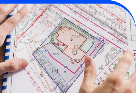
Boundary Surveys & Title Plans
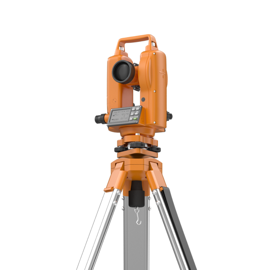
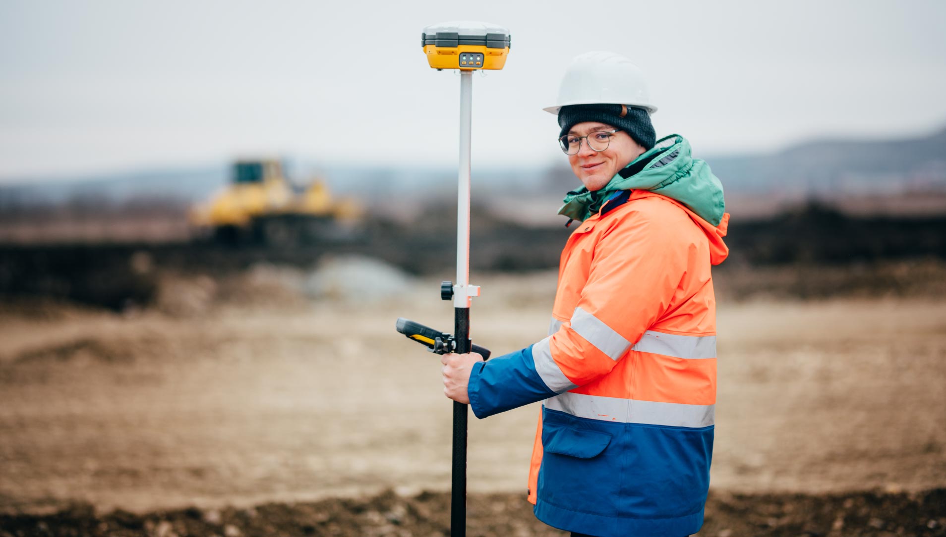
Boundary Surveys and Title Plans are vital for establishing precise property limits, reducing disputes, and ensuring compliance with land ownership requirements. At Drinkswork Surveys, we deliver clear, accurate mapping for landowners, developers, solicitors, and property professionals. Our team combines topographic land contour surveys with advanced technology to capture features, elevations, utilities, and boundary markers in detail. Using GNSS, total stations, and drone-based data collection, we produce plans that meet legal standards and support property transactions. These surveys provide definitive evidence when preparing for land registry, resolving encroachments, or developing new sites. Clear and reliable title plans also help in negotiations, conveyance, and project design stages. Whether for residential, commercial, or agricultural property, our service ensures clarity of ownership and planning confidence. Clients gain access to survey outputs that are legally recognised, highly detailed, and tailored to each site’s unique conditions.
Delivering Legal Certainty Through Accurate Surveys
Our boundary survey service is designed for landowners, developers, and legal professionals who require certainty in property limits. By combining on-site precision with advanced capture methods, we create title plans that stand up in land registry applications and property transactions. This provides a reliable foundation for decision-making and risk management in ownership, development, and planning.

Reliable Surveys Delivered
Property boundaries define ownership, responsibility, and opportunity. Without accurate records, disputes can arise and projects may stall. Our service removes uncertainty, helping clients gain a clear understanding of their land. Reliable surveys underpin development, investment, and legal processes, ensuring all parties can move forward with confidence and clarity.
Legal Clarity
Project Certainty
Dispute Resolution
Adding 360° Vitual Tours To Survey Deliverables
Blueprint Surveys now integrates Blueprint360View technology into its survey outputs, offering clients the option of 360° virtual tours alongside traditional deliverables. This enhancement transforms measured data into interactive digital environments, helping architects, planners, and developers visualise projects with clarity. The combination of precision surveys and immersive visuals accelerates decisions, improves communication, and strengthens project presentation