Surveys Supporting Mining Projects
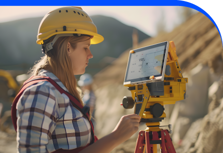
Mining and geological surveyors rely on accurate terrain data to plan operations and assess resources. Blueprint Surveys delivers topographic surveys, GNSS control, drone mapping, and laser scanning. Our services provide terrain models, volumetric estimates, and reliable control networks, helping surveyors accelerate exploration and operational planning with dependable, industry-compliant data.
Surface Models
Control Networks
Volume Estimates
Geology Needs Accuracy
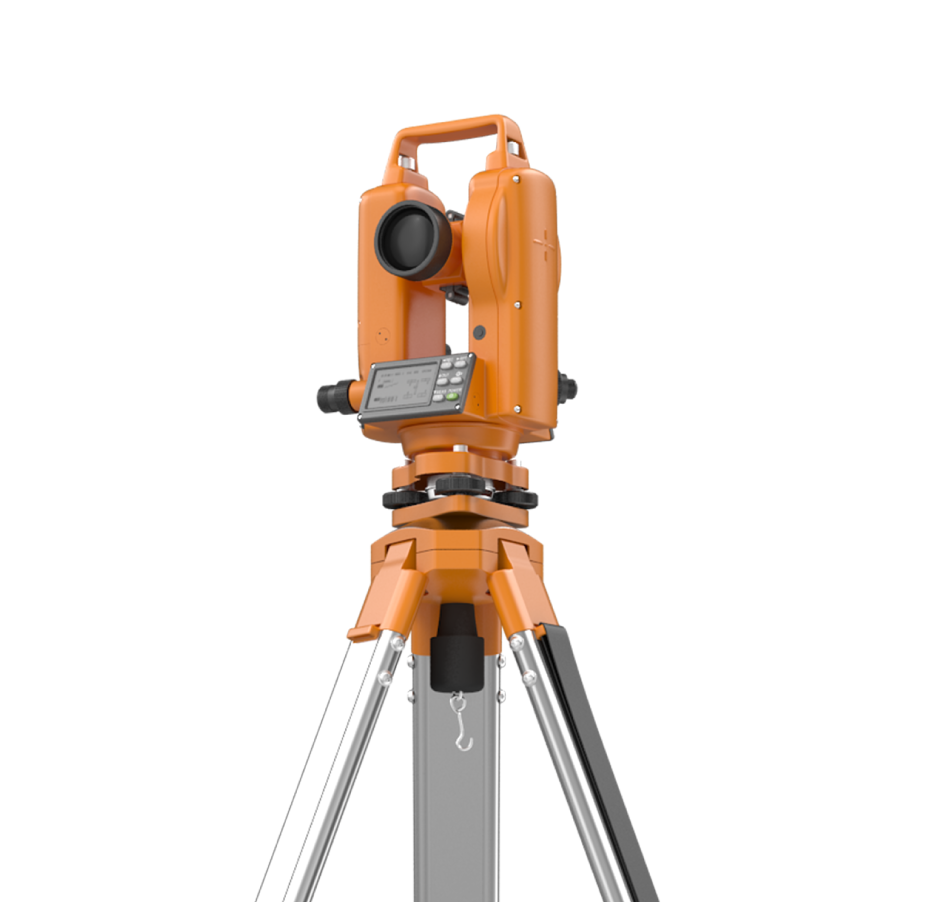
Mining surveyors must capture terrain, volume, and structure with certainty. Blueprint Surveys provides drone imagery, GNSS grids, laser scans, and detailed topographic mapping. These datasets support excavation planning, stockpile calculations, and safety monitoring. With calibrated outputs ready for CAD and GIS (Geographic Information Systems), our surveys reduce uncertainty and strengthen the foundation of exploration and extraction projects.

Surveys Enhance Resource Planning
Blueprint Surveys delivers comprehensive geospatial services tailored for mining. From surface models and GNSS grids to drone-mapped orthophotos and volumetric estimates, we equip surveyors with the information needed to design, plan, and monitor extraction. Laser scanning captures geological faces for stability and analysis. Each dataset undergoes stringent quality checks, ensuring interoperability across GIS, CAD, and mine-planning platforms. With reliable information at the outset, surveyors reduce delays, manage risk, and maximise efficiency in both exploration and operational phases.
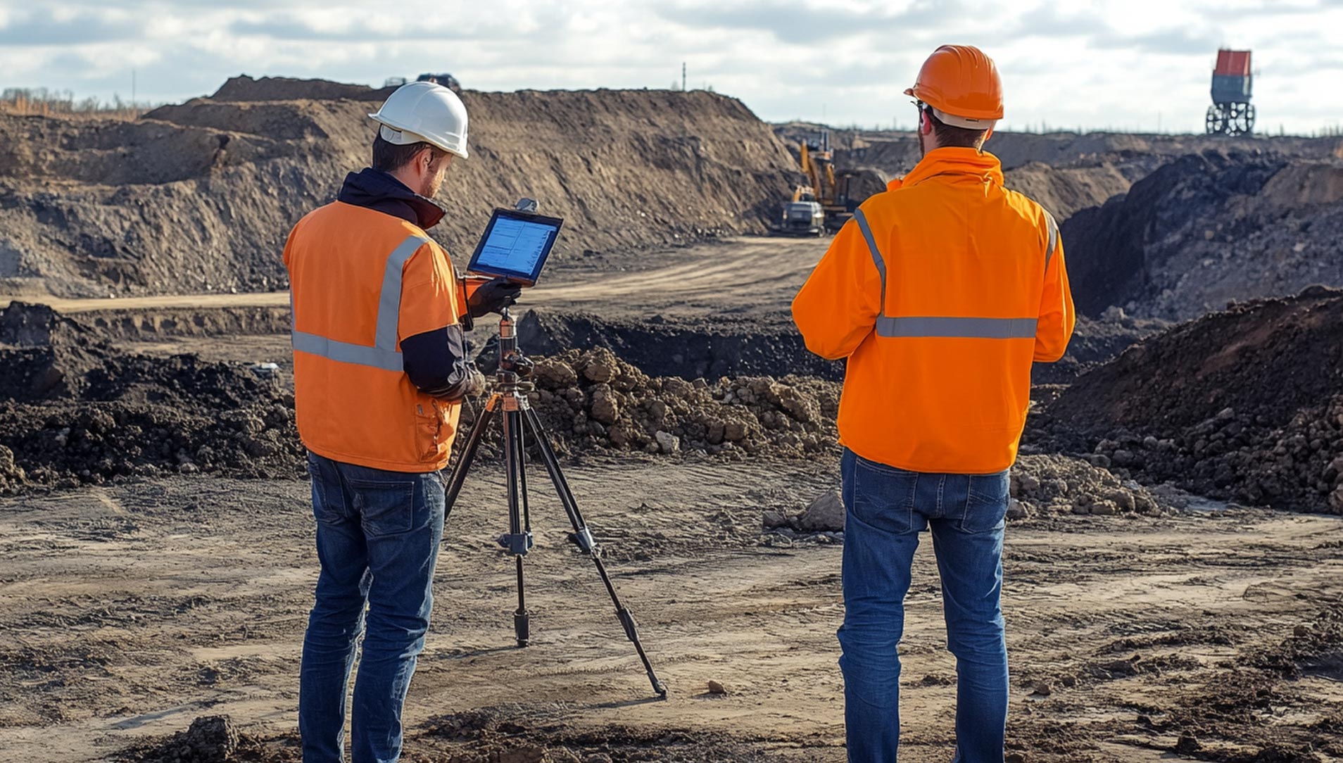
Our mining survey services transform complex terrain into actionable data. By combining aerial, ground, and laser methods, we deliver coherent models that guide decision-making and compliance. Every dataset is delivered promptly, calibrated, and formatted to fit directly into resource planning and operational management systems, giving mining surveyors complete confidence.
Accurate Models for Mining
Blueprint Surveys accelerates mining projects by providing accurate and defensible survey outputs. Our services ensure volumetric assessments, terrain mapping, and geological scans are complete and compliant. With rapid mobilisation, we minimise downtime and deliver results ready for integration into mining workflows. Surveyors can quantify resources, map terrain, and monitor excavation confidently. Our advanced technology and quality assurance provide geological specialists with the certainty needed to manage operations effectively, reduce risks, and drive productive, safe outcomes across mining environments.
Contact Blueprint Surveys First
Before exploration or excavation begins, partner with Blueprint Surveys. We design tailored survey strategies, integrating drone, GNSS, and laser methods for complete accuracy. Early collaboration ensures no data gaps, reduces operational risks, and saves time. Speak with our team to secure survey outputs that support confident mining decisions.