Blueprint Surveys Supports Geomatics Specialists
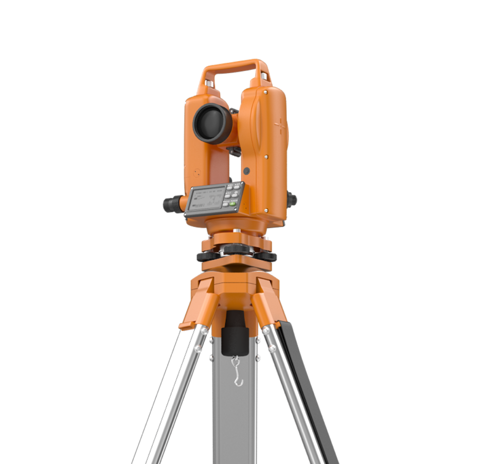
Geomatics professionals demand stringent accuracy, reliable control, and seamless data integration. Blueprint Surveys offers topographic contour mapping, measured building surveys (residential/commercial), verified visuals, street scenes, laser scanning, boundary/title plans, drone orthophotos, and GNSS networks. Our services accelerate workflows while maintaining industry standards, freeing you to focus on analysis, modelling, and delivery.
Contour Models
Boundary Plans
Fast Delivery

Geomatics Data Essentials
Professional land surveyors and geomatics engineers rely on diverse data that includes ground contours, control networks, legal boundaries, building geometry, scan clouds, aerial imagery, and visual context. Blueprint Surveys unifies those demands, delivering harmonised datasets ready for CAD, GIS, and BIM. We help you eliminate gaps, prevent misalignment, and accelerate project delivery through rigorous QA and standardised outputs.


Services Geomatics Trust
Blueprint Surveys provides the full spectrum of geospatial services needed by professionals: high-fidelity topographic mapping, measured building capture, verified visual representation, street elevations, dense laser scanning, boundary surveys, drone orthophotos, and GNSS reference network establishment. We deliver unified data, conforming to accuracy thresholds, coordinate systems, and client specs. Our workflow ensures each dataset is interoperable, reliable, and validated; ready for your modelling, analysis, and engineering tasks.
By consolidating all survey types under one provider, Blueprint Surveys removes the friction of heterogeneous data sources. You gain consistency, control, and speed. Our rigorous QA and calibration processes ensure outputs match industry tolerances. From initial field to final model handover, we support your mission with dependable geospatial foundation.
Deliver with Geospatial Integrity
Blueprint Surveys empowers geomatics professionals to execute projects with fewer risks, reduced rework, and trusted data pipelines. Our integrated service model ensures consistent coordinate systems, minimal overlap, and optimized workflows. With rapid turnarounds, you avoid delays between survey delivery and model import. We support full audit trails, metadata, and data transparency. This lets you focus on advanced mapping, analysis, and delivery; secure in the knowledge that underlying survey data meets or exceeds industry standards.
Contact Before You Commence
Partner with Blueprint Surveys before fieldwork planning begins. We’ll advise control setup, data capture strategy, coordinate schemas, and deliverable formats tailored to your system. Early alignment avoids missing data and costly resurvey gaps. Reach out to discuss your project’s geomatics requirements and receive a fit-for-purpose survey plan that accelerates your timeline.