Blueprint Surveys Empower Engineers
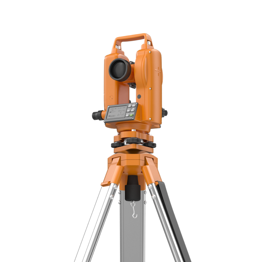
Civil engineers need precise control, terrain models, and accurate boundary data to design infrastructure reliably. Blueprint Surveys delivers topographic, GNSS, laser scan, drone, and boundary surveys, all aligned to industry standards. We help engineers accelerate design, cut rework, and reduce risk by supplying high-fidelity geospatial data for every project stage.
Terrain Models
Network Control
Boundary Clarity

Data Drives Projects
In civil engineering, errors in terrain or control propagate costly mistakes. Blueprint Surveys supplies accurate topographic models, GNSS networks, boundary plans, drone-mapped surfaces, and scan data. Early engagement ensures design aligns with ground truth, minimizes change orders, and supports confident infrastructure delivery. Every dataset arrives ready for CAD, analysis, and construction stages.


Services that Empower Infrastructure
For civil engineers, reliable geospatial context is the backbone of structural, drainage, and roadway design. Blueprint Surveys collects and delivers aligned data sets: topographic surfaces, GNSS control, boundary definitions, drone ortho-mosaics, and dense laser scans. We integrate datasets into coherent models you can trust. That enables smarter cut/fill decisions, accurate setting out, clash detection, and regulatory submission, all while maintaining industry-standard tolerances.
By relying on Blueprint Surveys, civil engineers eliminate costly adjustment cycles and uncertainty. All data is calibrated, QA-checked, and delivered to match design frameworks and standards. Use it directly in CAD or GIS systems without in-house reprocessing. You get accuracy, speed, and confidence, letting you focus on creative and structural solutions, not data clean-up.
Build with Confidence
Blueprint Surveys helps architects deliver projects faster by providing verified, ready-to-use data at the start of each stage. Our combination of precision fieldwork and modern processing ensures every drawing, model, and image is trustworthy. This reduces costly design iterations, supports clear communication with planning authorities, and safeguards architectural intent. We position architects to respond to client demands quickly, make informed design choices, and maintain compliance with planning conditions, allowing projects to progress smoothly from early feasibility to construction documentation.
Contact Blueprint Surveys Early
Engage Blueprint Surveys before final design begins to secure accurate site control, topographic models, and boundary definitions upfront. We deliver datasets engineered for integration with your tools and workflows, reducing revisions, delays, and cost overruns. Reach out and let’s tailor a survey strategy that accelerates your next infrastructure project.