Surveys Supporting Heritage Projects
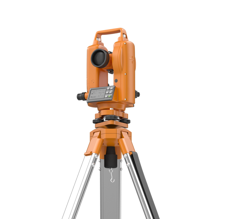
Archaeologists and heritage consultants depend on precise documentation to safeguard cultural assets. Blueprint Surveys provides laser scanning, photogrammetry, drone surveys, and measured building data that preserve structures and excavation records. Our outputs allow accurate analysis, digital archiving, and faithful restoration, while accelerating heritage projects with industry-approved, reliable deliverables for lasting preservation.
3D Models
Historic Records
Drone Imaging

Surveying Heritage Reliably
Heritage projects demand non-invasive, high-accuracy methods to document and preserve fragile assets. Blueprint Surveys delivers laser scanning, photogrammetry, drone mapping, and measured building surveys that conserve historic data in digital form. Our surveys reduce risks of physical handling, support heritage statements, and provide accurate models for restoration and cultural interpretation.


Services Protect Cultural Assets
Blueprint Surveys equips archaeologists and heritage specialists with accurate 3D data that safeguards irreplaceable sites. Laser scanning creates millimetre-precise models, photogrammetry provides textured visuals, and drone surveys capture excavation progress, and measured surveys document historic buildings for conservation. By delivering interoperable outputs, we ensure archaeologists can analyse, archive, and present heritage data with authority, meeting planning and cultural requirements while minimising site disturbance.
Our heritage survey solutions reduce risks, preserve fragile sites, and provide enduring records for future study. By working with Blueprint Surveys, archaeologists and consultants gain dependable, reusable datasets that meet industry standards and ensure cultural preservation objectives are met effectively, accurately, and without delay.
Build Evidence for Heritage
Blueprint Surveys accelerates archaeological and heritage projects by providing authoritative digital records that reduce dependency on physical access. Our laser scanning, photogrammetry, and aerial surveys supply evidence-based deliverables essential for conservation planning, funding applications, and heritage statements. By capturing complete datasets in one mobilisation, we save time, prevent data gaps, and maintain consistency across project phases. This ensures archaeologists and heritage consultants can focus on interpretation, research, and preservation, supported by precise, compliant survey documentation.
Contact Blueprint Surveys First
By contacting Blueprint Surveys before excavation or restoration begins, heritage professionals secure the data needed for reliable project planning. Our team develops non-intrusive survey strategies aligned with conservation standards, delivering datasets that protect heritage value while streamlining approvals. Start early, avoid delays, and ensure historic integrity is preserved.