Our Professional Services
Blueprint Surveys Limited provides a full range of survey solutions, from measured building and topographic surveys to laser scanning, boundary mapping, GNSS control, and drone imagery. Each service is delivered with precision, ensuring accuracy, compliance, and efficiency for architects, engineers, planners, and developers across residential, commercial, and infrastructure projects.
Boundary Surveys & Title Plans
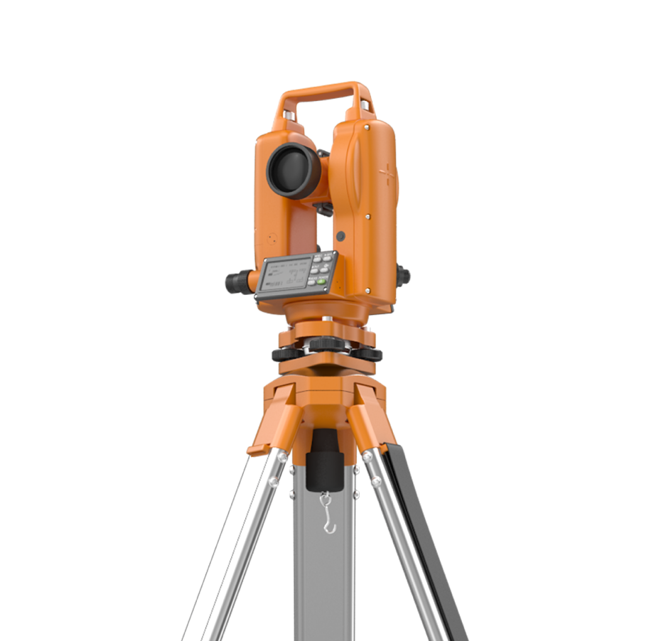
GNSS Coordinate & Level Surveys
Drone Aerial & Orthophoto
Laser Scanning & Photogrammetry
Street Scene Elevation Surveys
Verified View & Visuals
Commercial Building Surveys
Residential Building Surveys
Topographic Land Contour Surveys
Get in Touch
Promote, plan, and manage projects confidently with Blueprint Surveys Limited. Our measured surveys, topographic mapping, and verified visuals provide accuracy, insight, and efficiency. Use the ‘Contact Us’ form below to request quotes, advice, or project details. Subscribe to our ‘Newsletter’ for professional updates and guidance.
Contact Us


Adding 360° Vitual Tours To Survey Deliverables
Blueprint Surveys now integrates Blueprint360View technology into its survey outputs, offering clients the option of 360° virtual tours alongside traditional deliverables. This enhancement transforms measured data into interactive digital environments, helping architects, planners, and developers visualise projects with clarity. The combination of precision surveys and immersive visuals accelerates decisions, improves communication, and strengthens project presentation